
A white lens in a moving sky
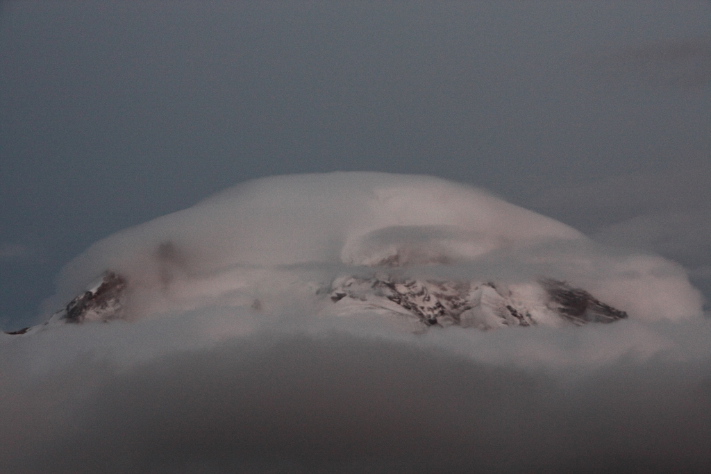
A smooth, saucer-shaped cloud hangs above a mountain or beyond a ridge. The wind keeps blowing, yet the cloud may seem fixed in place. Its unfamiliar shape is only part of the fascination. A lenticular cloud can reveal a distinction we rarely notice: the speed of moving air and the speed of a visible cloud pattern need not be the same.
The key is to stop treating the cloud as a solid object. In a mountain-wave lenticular cloud made of liquid droplets, air enters and leaves the cloudy region while droplets form on one side and evaporate farther downstream. When these processes continue in roughly the same places, the overall outline can persist even as its constituent material changes. 2

NOAA · Public domain · Wikimedia Commons
Watch the short explanation
Does every lenticular cloud form at the same height?
The World Meteorological Organization’s International Cloud Atlas describes lenticular clouds as lens- or almond-shaped clouds, generally with distinct outlines; some are very elongated. The species name lenticularis applies mainly to Cirrocumulus, Altocumulus and Stratocumulus. The word therefore does not, by itself, establish a single altitude or cloud genus. 1
Here we focus on clouds that appear nearly stationary in waves generated by air crossing mountains. Mountains are a common starting point, but they are not a universal requirement. The atlas explicitly allows for lenticular clouds in regions without pronounced terrain. 1
Depending on conditions, cloud particles may be liquid droplets or ice crystals. The condensation-and-evaporation explanation below focuses on the liquid-droplet case. 10
Jeffrey Pang · CC BY 2.0 · Wikimedia Commons
Air crossing a mountain can develop a wave
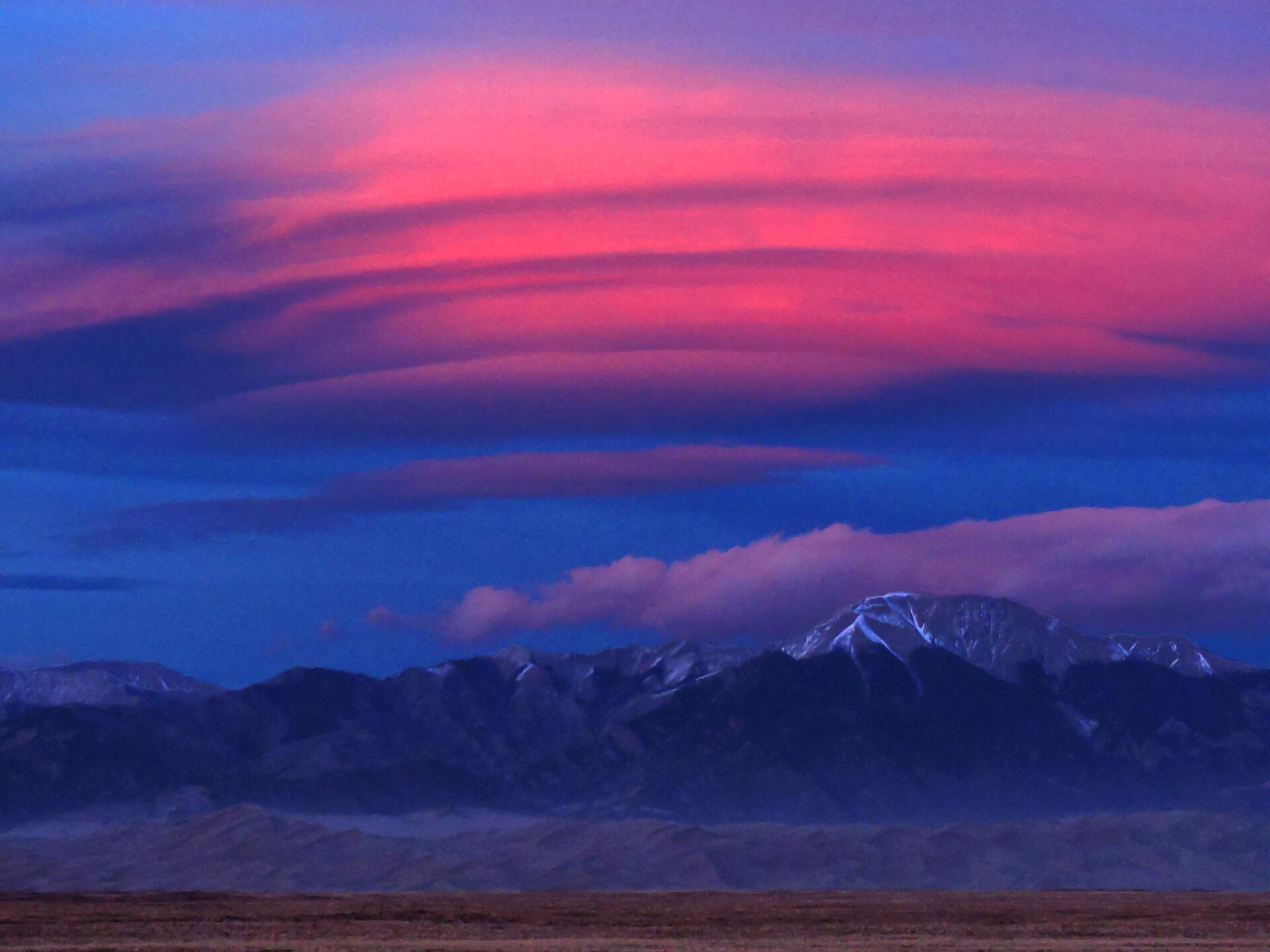
When relatively stable air flows across a ridge, the terrain forces it upward. Under suitable conditions, rising and falling motions continue downstream, creating a mountain wave. Wind direction, wind strength and atmospheric conditions matter: a mountain and some wind do not guarantee that the same cloud will form every time. 5
Imagine water flowing over an obstruction in a river. The water can keep moving downstream while a wave pattern remains in a particular place. This analogy separates the movement of material from the position of a pattern. In the atmosphere, the moving material is air, and the white portion we see is cloud forming where the conditions permit it. 3

Alpsdake · CC BY-SA 3.0 · Wikimedia Commons
Forming on the ascent, disappearing on the descent
Rising air encounters lower pressure, expands and cools. If sufficiently moist air reaches saturation, water vapor condenses into tiny droplets and a visible cloud forms. The white cloud we see is different from gaseous water vapor. Imagining vapor simply as a white mass drifting through the sky misses that change of state. 4,10
Air does not stop when cloud forms near the crest of a mountain wave. Farther along the flow, descending air warms and droplets can evaporate. Incoming air keeps producing new cloud while cloud disappears downstream. Its edge is better understood as a boundary of conditions that allow cloud to exist than as a wall holding air inside. 9
NPS / Patrick Myers · Public domain · Wikimedia Commons
What, exactly, appears to stay still?
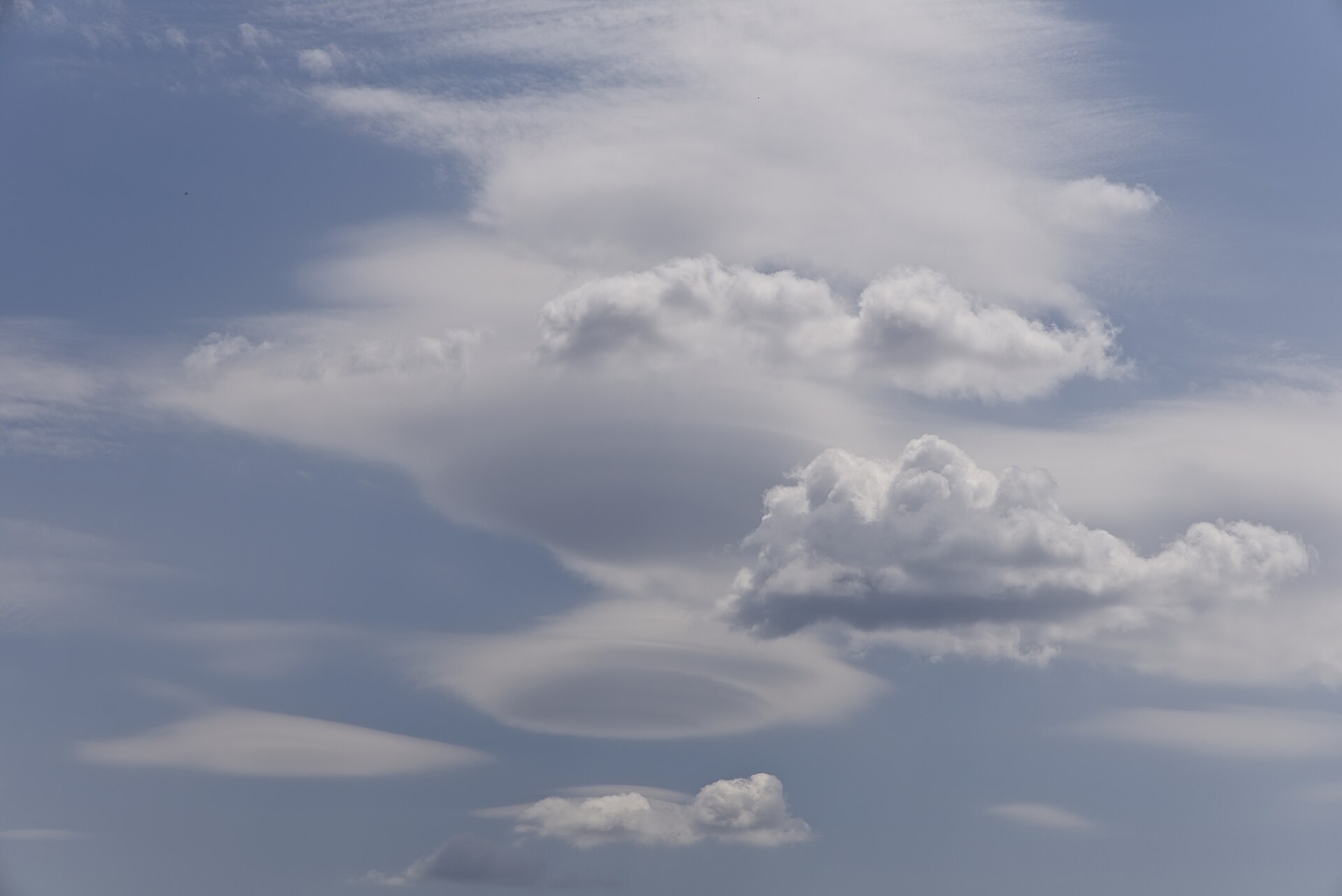
An apparently stationary cloud does not imply that the air or all its particles are stationary. The National Weather Service’s Hawaii account describes continuous cloud formation and dissipation while a steady wind blows. The persistent pattern and the air passing through it are different things. 7
A photograph also has limits as evidence. It can show a lens-shaped outline, but that alone does not measure air speed or track an individual droplet.
Brainandforce · CC BY 4.0 · Wikimedia Commons
It is not a phenomenon confined to New Zealand
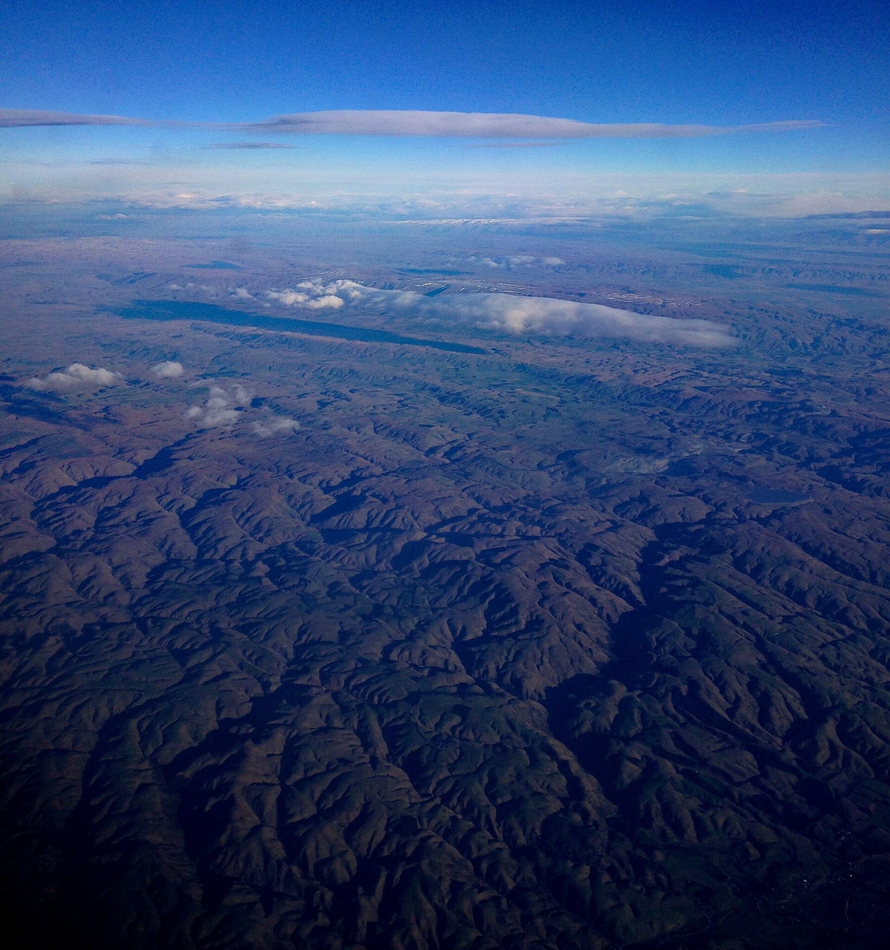
On New Zealand’s South Island, an elongated lenticular cloud is locally known as the “Taieri Pet.” In an example presented by NASA, Landsat 8’s Operational Land Imager captured it on September 7, 2024. It offers a satellite perspective on a cloud associated with regional terrain and wind. 8
The Hong Kong Observatory documented lenticular clouds seen toward Kowloon on February 8, 2006, explaining how stable, moist air crossing hills could develop wave motions. The US National Weather Service also recorded an example around Mauna Loa and Mauna Kea on Hawaii’s Big Island on November 25, 2003. Similar outlines in such different landscapes point to shared conditions involving terrain, air and moisture. 6,7
Alistair Paterson · CC BY-SA 2.0 · Wikimedia Commons
A clear sky does not rule out a mountain wave
Air can be too dry for a mountain wave to produce cloud. A lenticular cloud reveals only part of the flow, and its smooth outline does not establish that the surrounding air is calm. 3
Next time you see a white lens, picture a pattern continually being renewed as air passes through. Persistence of appearance is different from stillness of material. 9

Serge Ouachée (Butterfly austral) · CC BY-SA 3.0 · Wikimedia Commons
References
- WMO International Cloud Atlas — Lenticularis
- NWS Albuquerque — Altocumulus Standing Lenticular Clouds
- Met Office — Unusual cloud formations
- NWS — Cloud Development
- NWS Albuquerque — Mountain Wave Activity Over the Southern Rockies
- Hong Kong Observatory — Lenticular Clouds
- NWS Honolulu — Lenticular clouds, November 25, 2003
- NASA — A Particular Lenticular Cloud
- NASA Earth Observatory — Curious Clouds in the Transantarctic Mountains
- NWS Jackson — Weather Education: Clouds